
Within the wildland fire community, data and information supports activities that occur before, during and after a wildfire. Planning, preparedness, mitigation and education activities target reducing the risk of wildfire. Wildfire response activities address public and firefighter safety and land management objectives. Post fire activities target rehabilitation of ecosystems and reducing risk of flooding and erosion. All these activities cross land and agency boundaries. Sharing data and information during each stage promotes efficiency and effectiveness.
Read More
Historically, up-to-date federal government wildland fire data was difficult for the public to find and use. The majority of public-facing websites were either simple, viewable maps, or hardcore platforms, created for GIS analysts to download ESRI shapefiles. With climate change and longtime forest mismanagement fueling an increase in the scope of fires across the country, there was a critical need for better widespread access to wildland fire data.
Read More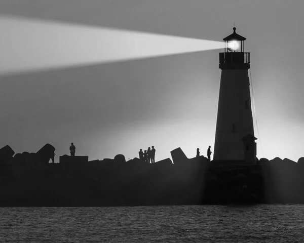
The Naval List of Lights is a compilation of every maritime navigation light in US and foreign waters. Vital for government, civilian, and commercial maritime users, the List of Lights includes complete information about lighted aids to navigation and sound signals. It encompasses storm signals, signal stations, radio beacons, racon, and radio direction finder calibration stations.
Read More